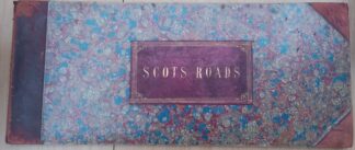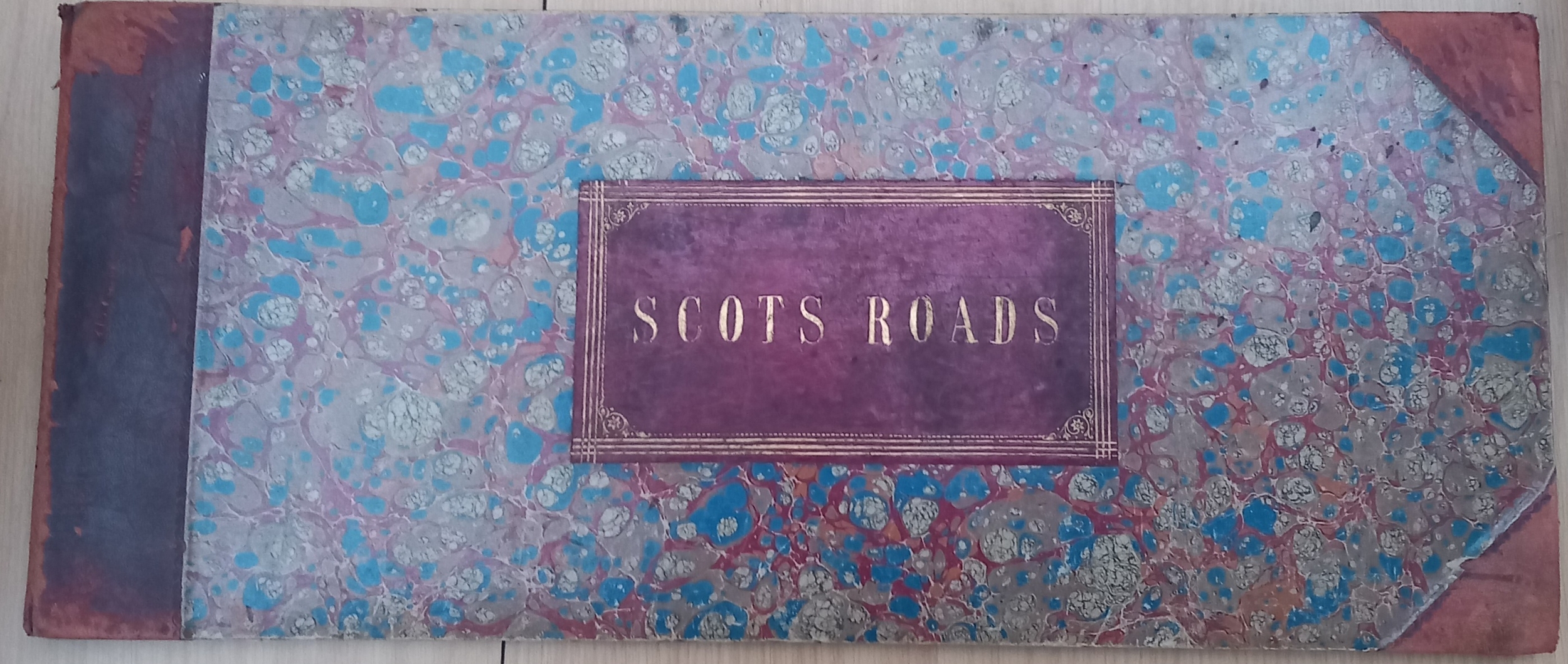
Description
First edition with all 61 plate/ pages present. In leather and marbled boards binding.
The first significant atlas to cover the roads of Scotland post the Wade improvements.
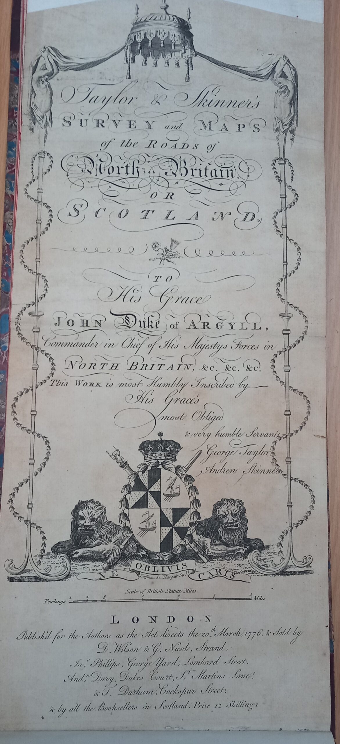
Title and imprint within engraved decorative border.
Dedication: “To his Grace John Duke of Argyll, Commander in Chief of his Majestys forces in North Britain, &c. &c. &c. This work is most humbly inscribed by His Grace’s most obliged & very humble servants, George Taylor, Andren [sic] Skinner.”
1 atlas (3, 61 p.) : 62 maps ; 22 x 53 cm (folio).
Includes an index of the cities, towns, and villages and their distance from Edinburgh; the cross roads, and a list of the stages on the Great Road.
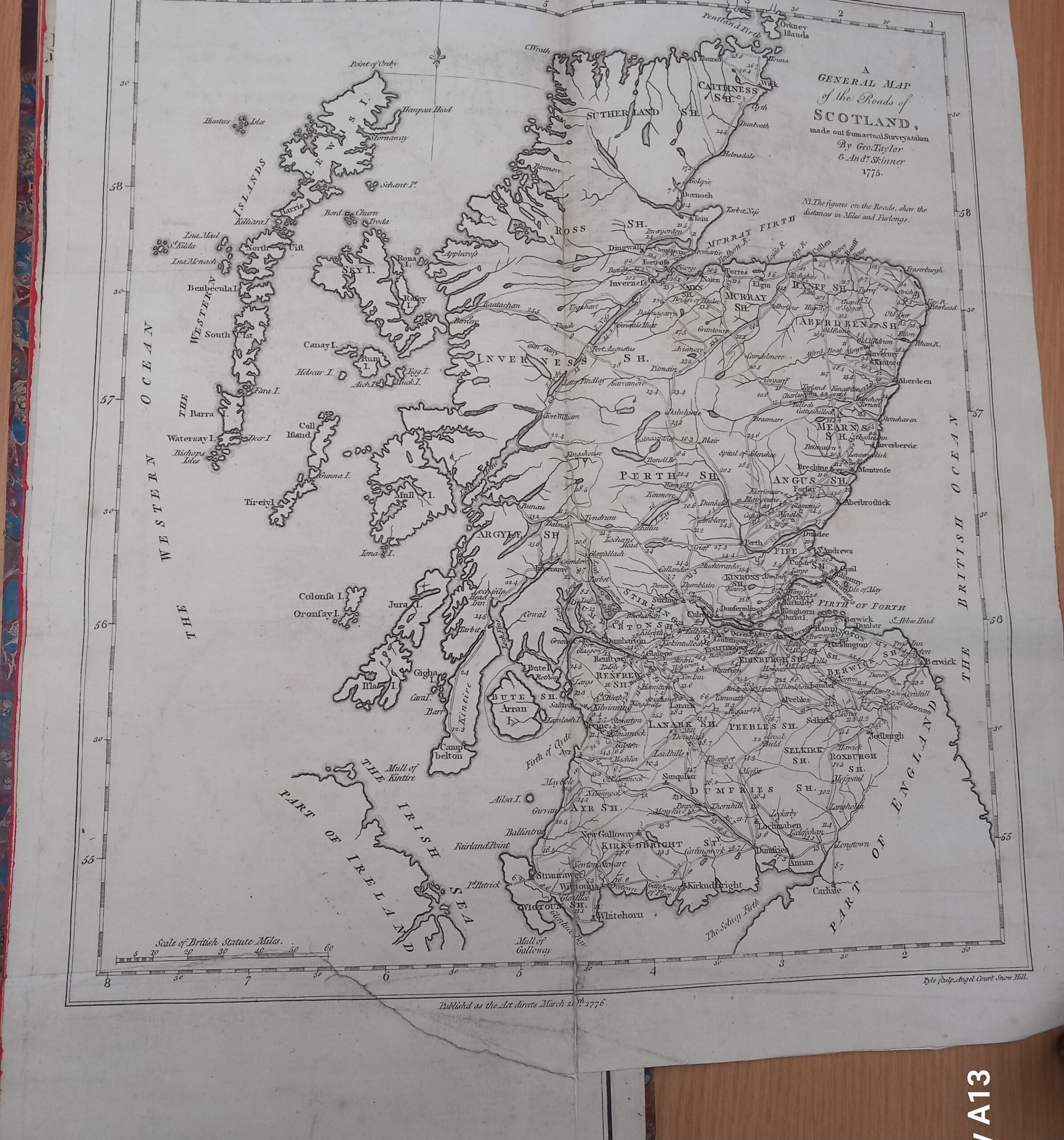
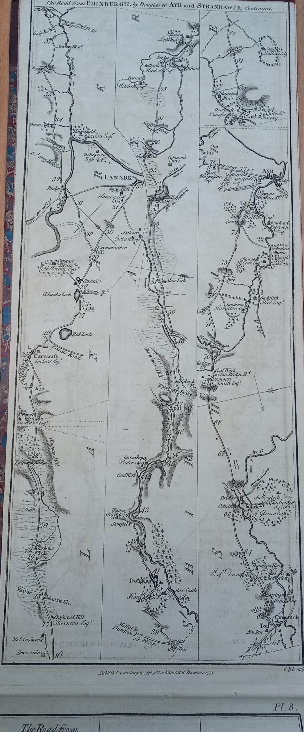
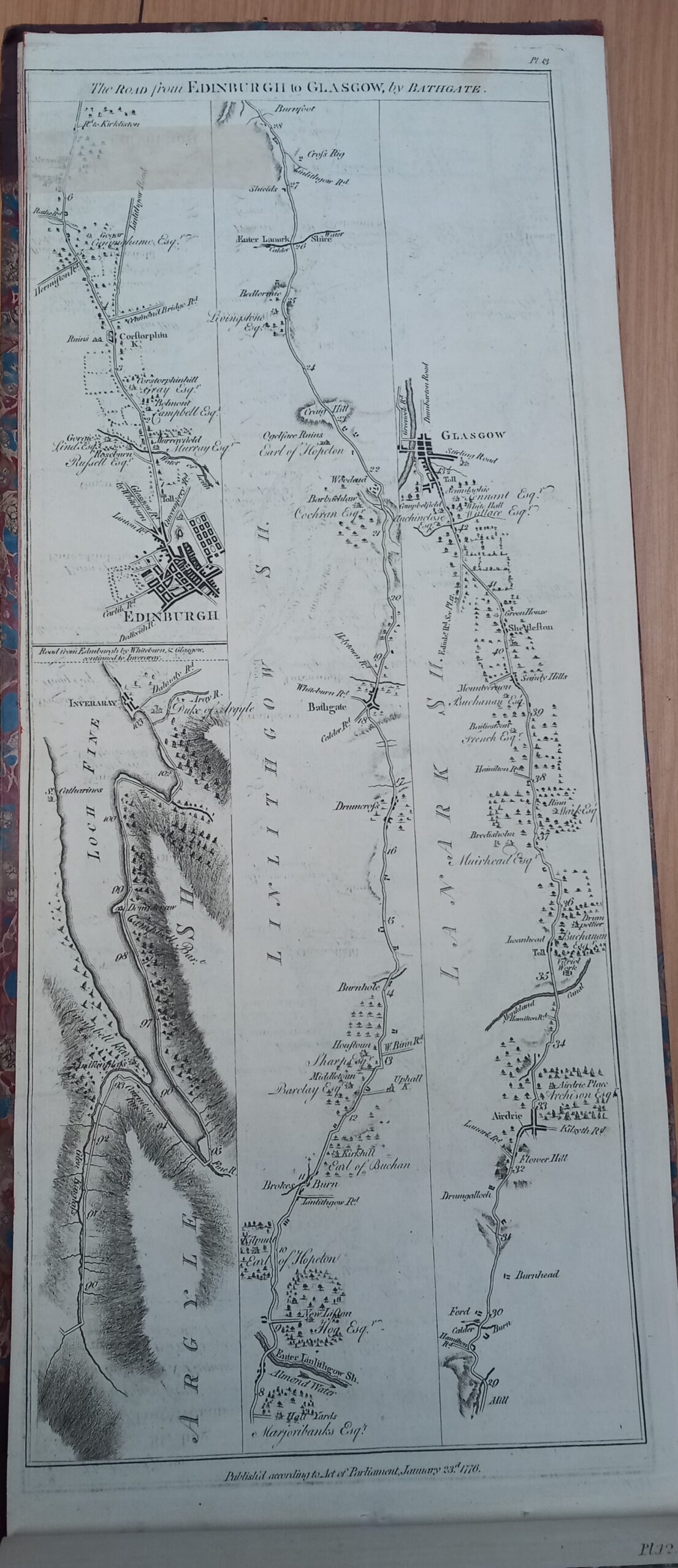
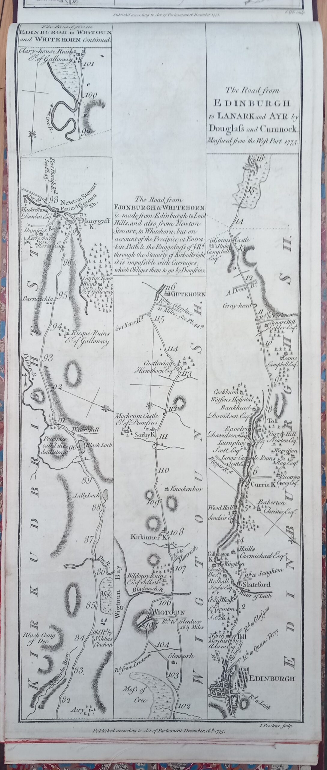
Survey made 1775. The National Library of Scotland describes the undertaking in this way: “Although John Ogilby had published a strip road atlas for England and Wales a century earlier, George Taylor and Andrew Skinner’s volume was essentially Scotland’s first road atlas. It consists of 61 plates showing roads across Scotland at the one-inch to the mile scale, covering some 3,000 miles in total, with each page divided into three vertical strips of a particular road. The volume was designed to be folded into a portable accessory for the growing number of travellers and visitors in Scotland.
Taylor and Skinner were originally surveyors in Aberdeen, and whilst the latter was resident in Edinburgh during the 1770s, they went on to work in Ireland in the later 1770s, before heading west to America by the 1780s. Although they were assisted financially by the Commissioners for the Forfeited Estates, and by subscriptions (some no doubt from the landed gentry whose names and properties were shown along many of the roads) in 1778 they reported that nearly half the 3,000 published copies of their Survey were unsold, and they therefore had debts still to repay.
Today, the strip maps can be of unique value for showing the detail of routeways including the new military roads in the Highlands (with their relative absence of other detailed maps) and, through their criss-cross network of Great Roads and Cross Roads, covering much of Lowland Scotland to supplement contemporary county mapping.”
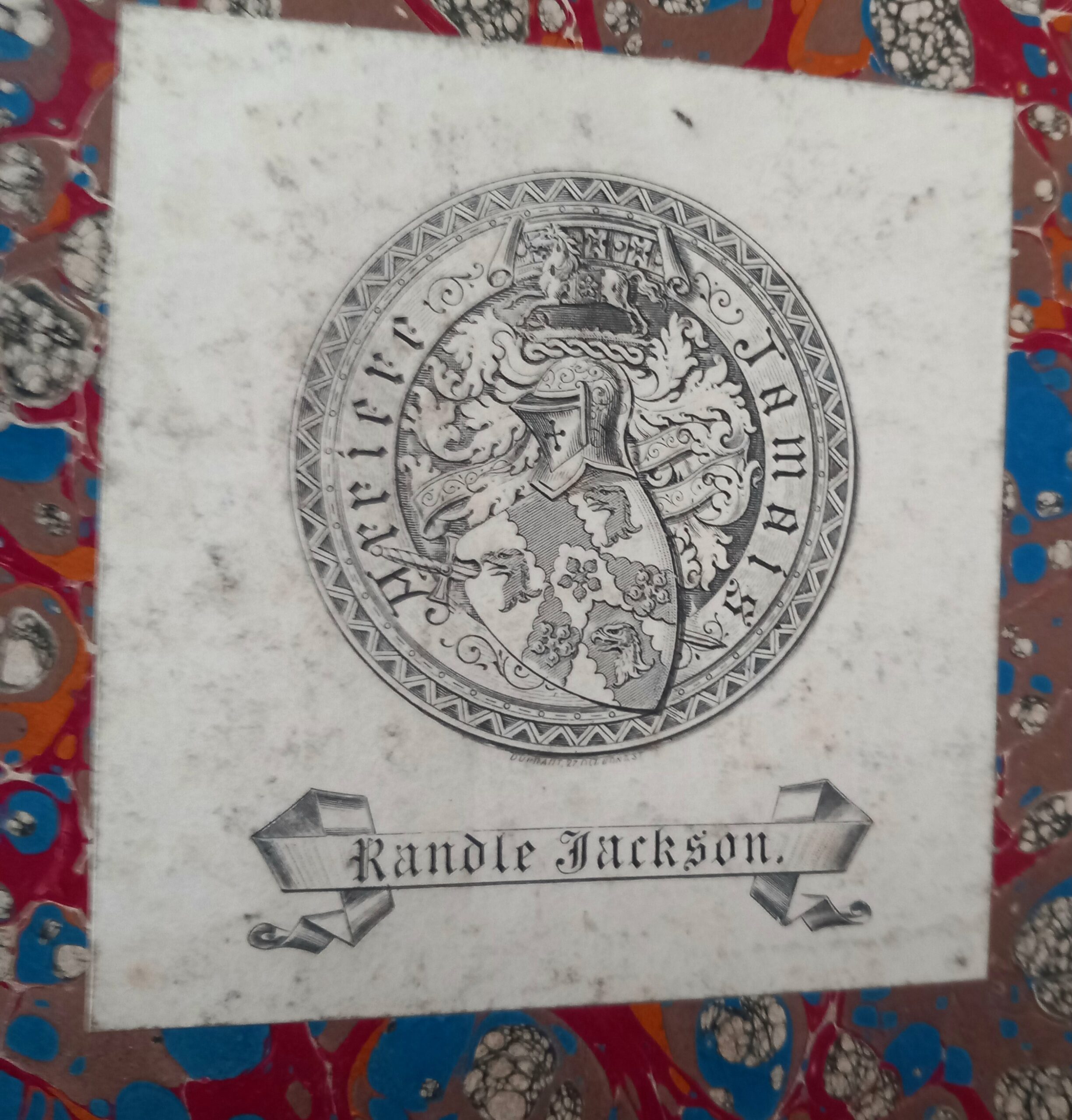
In generally good order. Title page professionally backed onto linen, other pages with professional repairs to edgesand in some cases squared off reducing the edges, sometimes cutting into the plate number but not affecting the maps. A VG condition copy of a very scarce item. From the library of the Balfour family, with the signatureof the Consrvationist and naturalist Jean balfour to a free endpaper. With the bookplate of Randle Jackson (Presumed to be Major Randle Jackson, the wealthy benefactor and owner of Swordale House in Evanton, Dingwall, Scotland) to the front pastedown.