Description
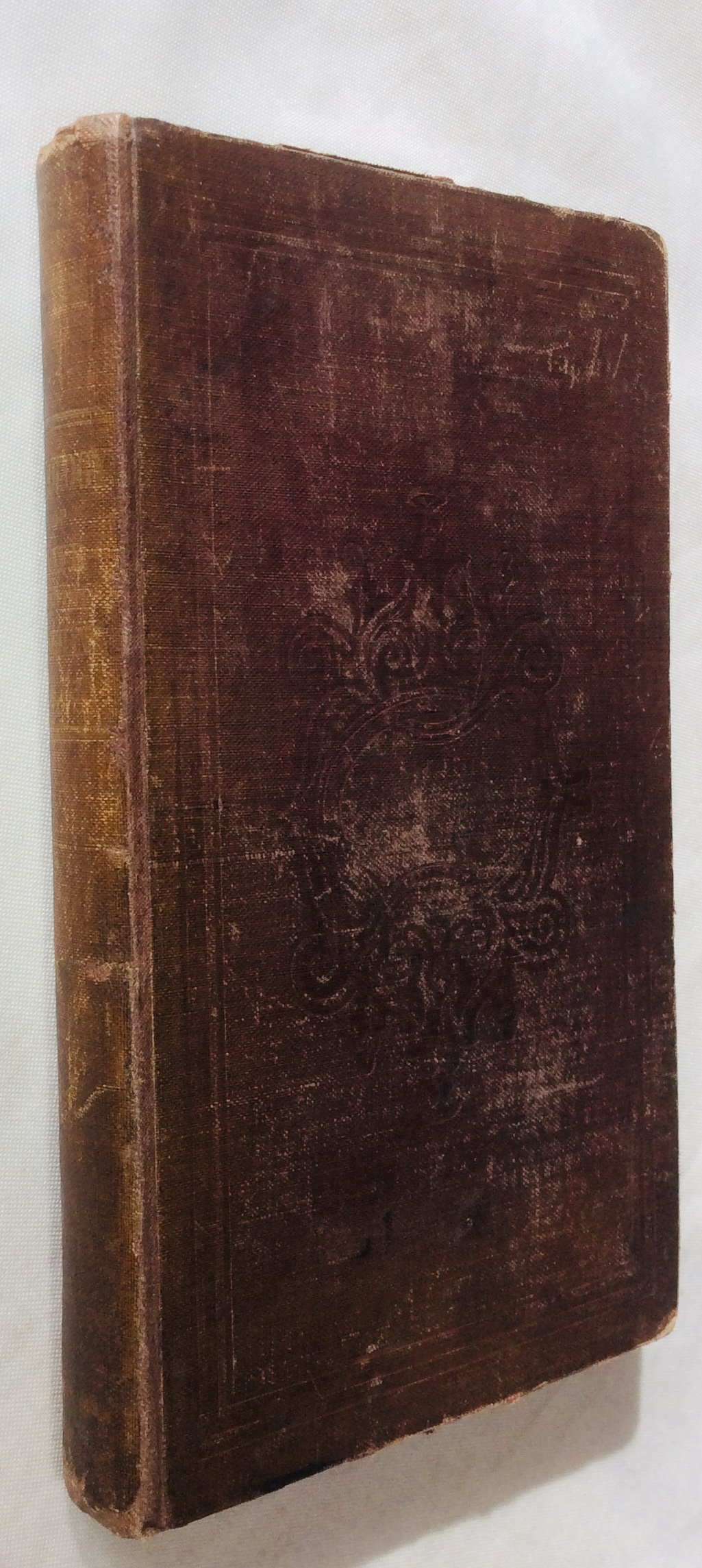
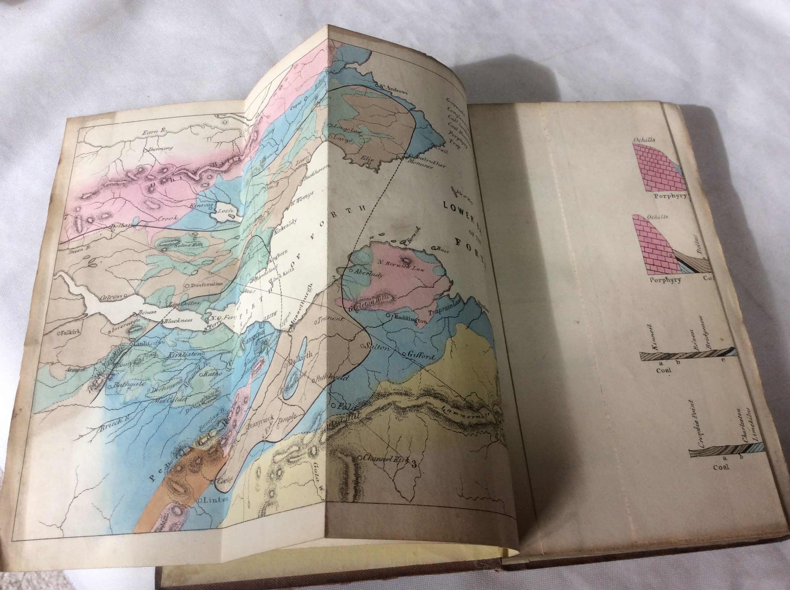
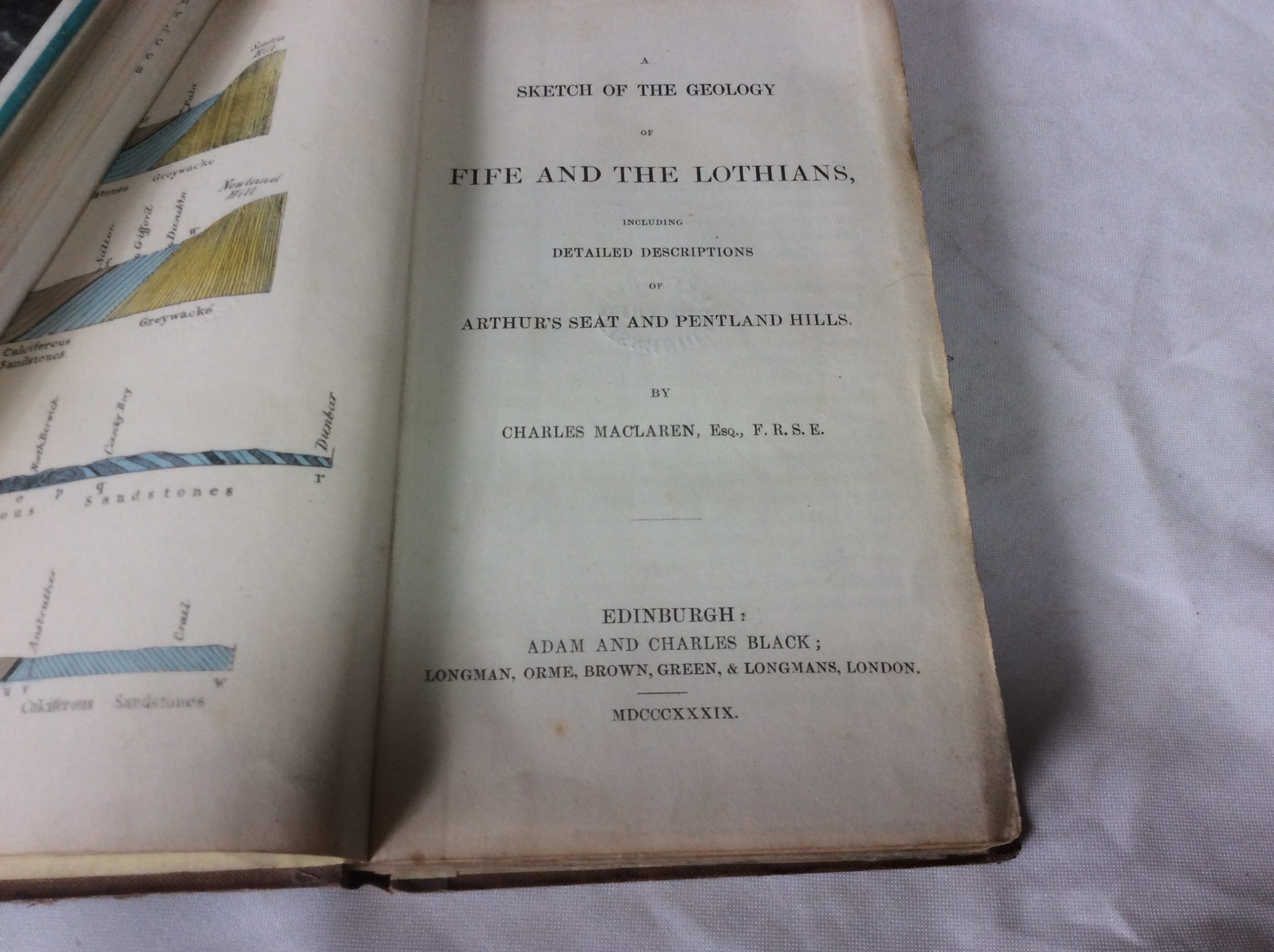
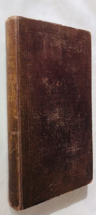
Hand coloured geological plates and maps. 5 folding colour charts and maps. As well as describing the structure of Arthur’s Seat and the Pentland Hills as it was understood in the middle of the nineteenth century, this shows their connections with the formations of the adjoining country, with a geological sketch of the district between the Ochil and the Lammermuir Hills. Ex University Library, with bookplate to front pastedown. A little soiled throughout with some oil posts to a few pages. Good
